Joint Survey Team Completes 6.4 km of Drone Aerial Imaging, Achieving 76% of Planned Photomap Work
AKP Phnom Penh, December 03, 2025 --
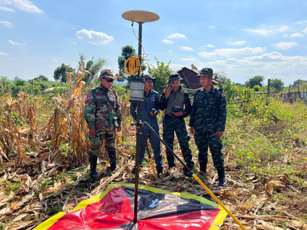
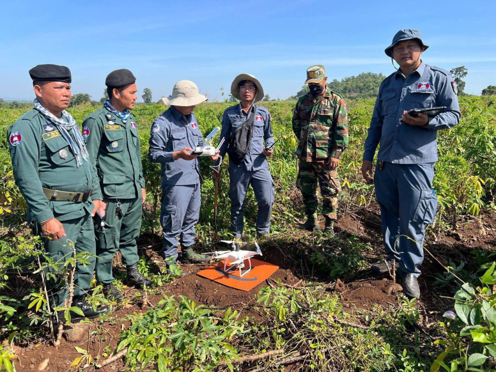
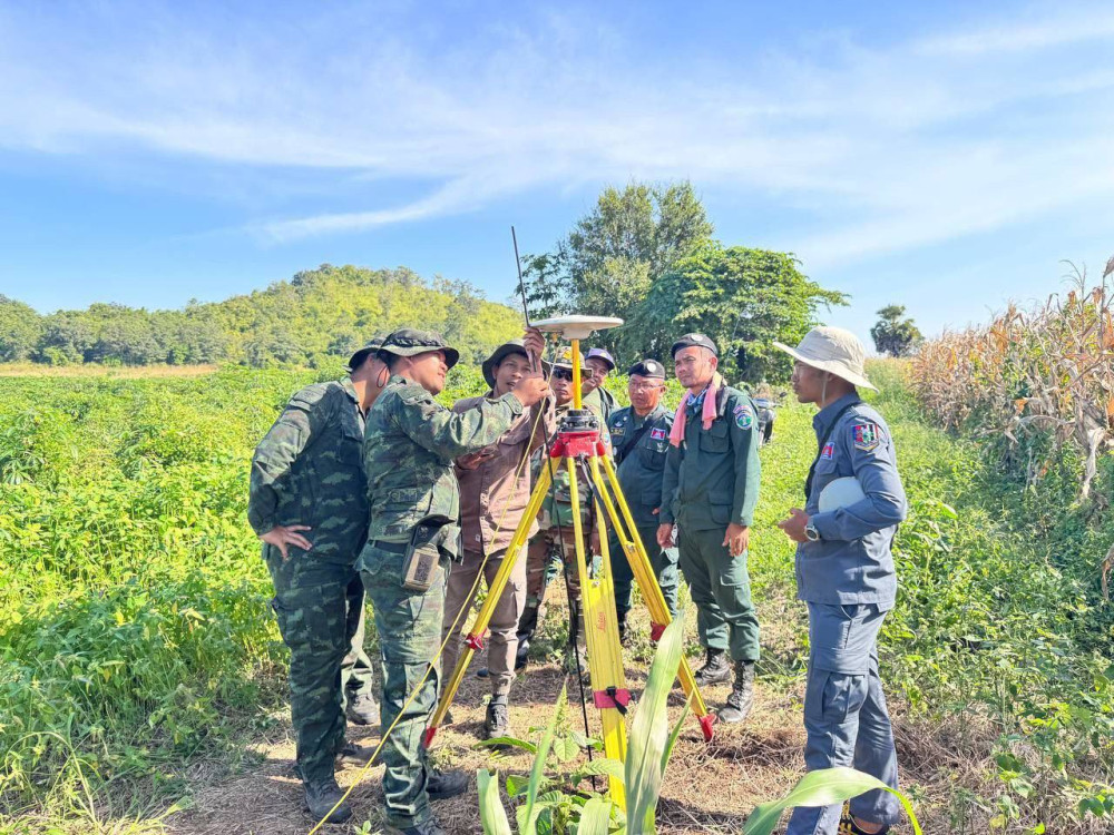
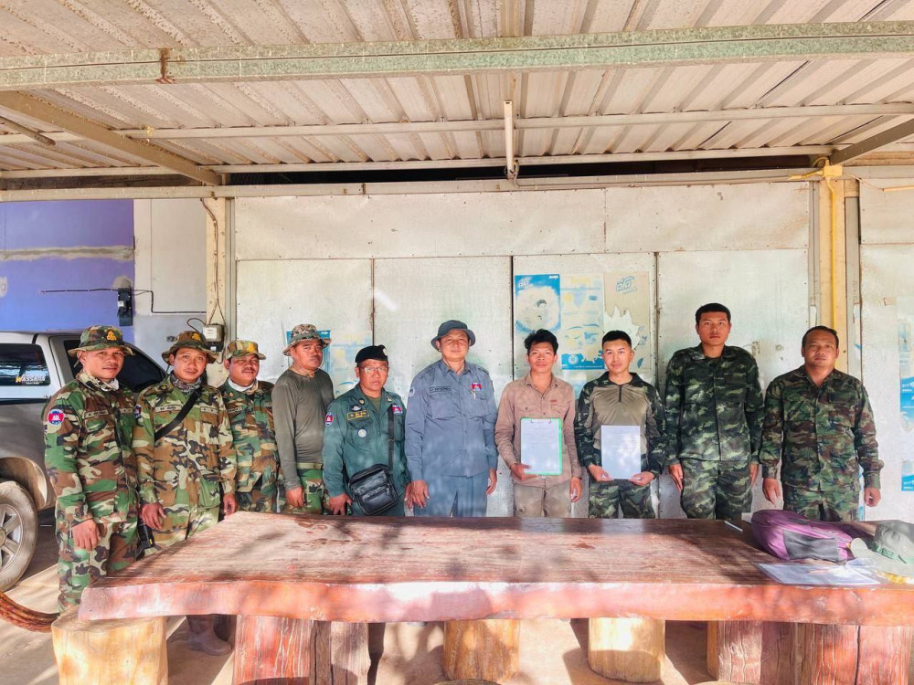
Officials from the State Secretariat of Border Affairs this evening reported progress in the joint survey and installation of temporary border markers along the border section between Posts 52 and 59 in Kamrieng district, Battambang province, opposite Pong Nam Ron district of Chanthaburi province, Thailand.
From Nov. 27 to Dec. 3, 2025, the Joint Cambodian-Thai Survey Team carried out aerial photography using drones to produce a photomap along the border section between Posts 52 and 59. The team successfully completed approximately 6.4 kilometres of the planned work, equivalent to about 76 percent of the total photomap requirement.
It should be noted that from Nov. 8 to 26, 2025, the Joint Survey Team conducted on-site work along the same border segment, which spans approximately 8.3 kilometres. During this period, they completed ground surveys and installed a total of 166 temporary border markers.
By C. Nika